Mapping for Environmental Good: Eco-Smart Cities Project
Climate Ready Cities • Nigeria & Côte d'Ivoire
Environmental pollution in West and North African countries has a lot of environmental challenges that jeopardize public health and exacerbate existing socio-economic inequalities, and undermine efforts towards sustainable development. Addressing these challenges requires collaborative efforts from different stakeholders at different levels (governments, industries, civil society organizations, and local communities).
For the West and Northern Africa Hub, 2024 kicked off with the launch of the EcoSmart Cities project in 9 cities, across Nigeria and Côte d'Ivoire, serving as a catalyst by collaborating with local partners for sustainability. /#ESC2023 #WNAH
The Eco Smart Cities Project aims to solve the complex problems of regional urban centers by creating innovative urban ecosystems, particularly in planning, infrastructure, population, and air quality. The project will provide decision-makers with comprehensive open geospatial data and mapping tools for sustainable planning of their urban centers. It is essential to emphasize the humanitarian aspect of this project, as it will highlight important towns and regions that still need to be equipped to meet the challenges of future urbanization that await them.
In Côte d'Ivoire, the towns of Yamoussoukro, the country's political capital, and Gagnoa, a significant city in the coffee and cocoa belt, have been selected for the project. In Nigeria, the towns of Amuwo Odofin, Mushin, Ado Odo/Ota ,Kaduna South, Kaduna North,Iseyin, Ogbomosho and some part of Ibadan all characterized as industrial hubs, and densely populated, and are likely to experience significant air pollution due to industrial activities, emissions from factories and vehicular traffic.
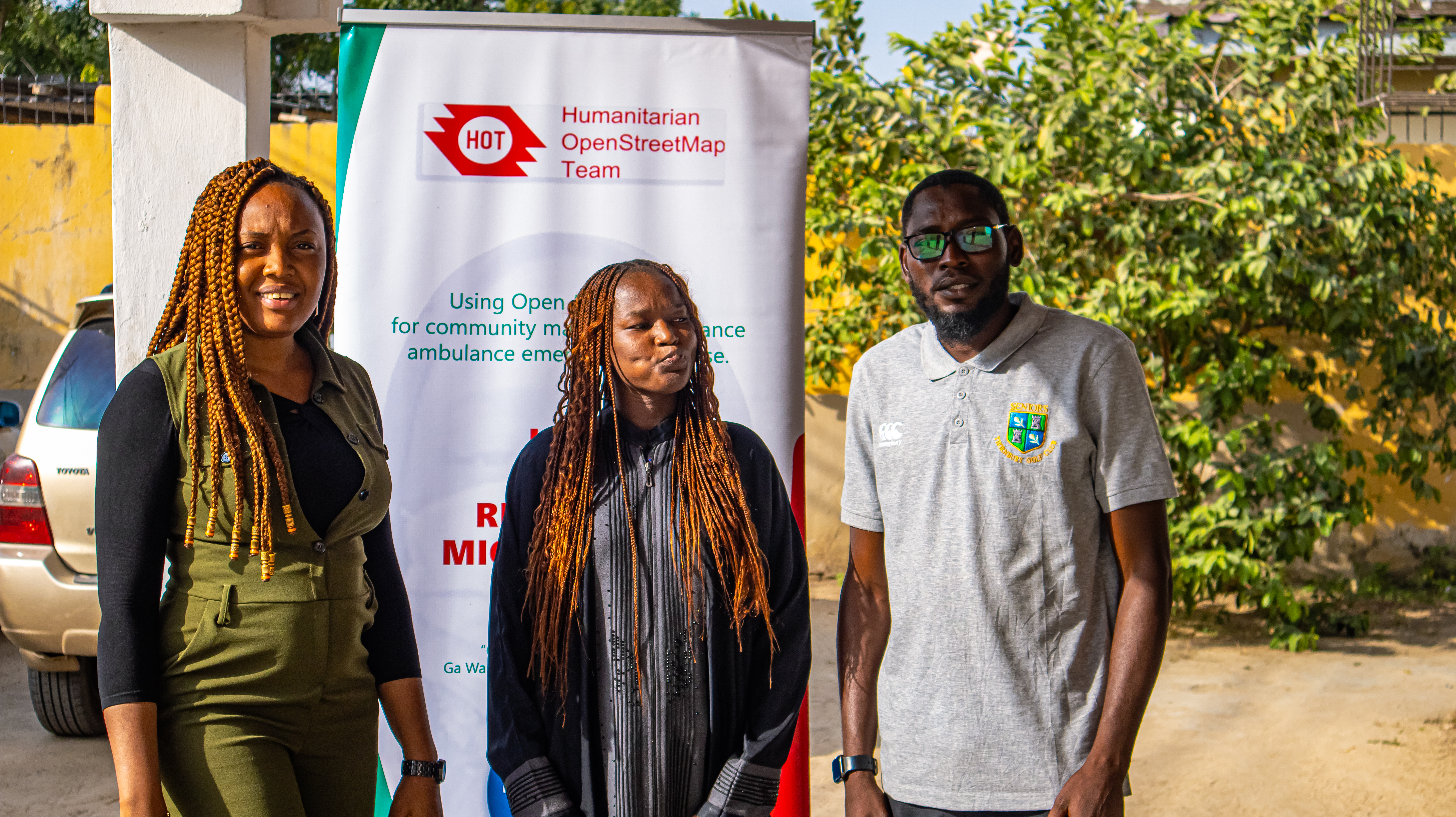
The OpenStreetMap Côte d'Ivoire (OSMCI), Humanitarian enhanced Platform for Development (HePD) and AfriqueSpatial were selected to implement the project in Côte d'Ivoire and Nigeria.
From our Partners Desk
OSMCI
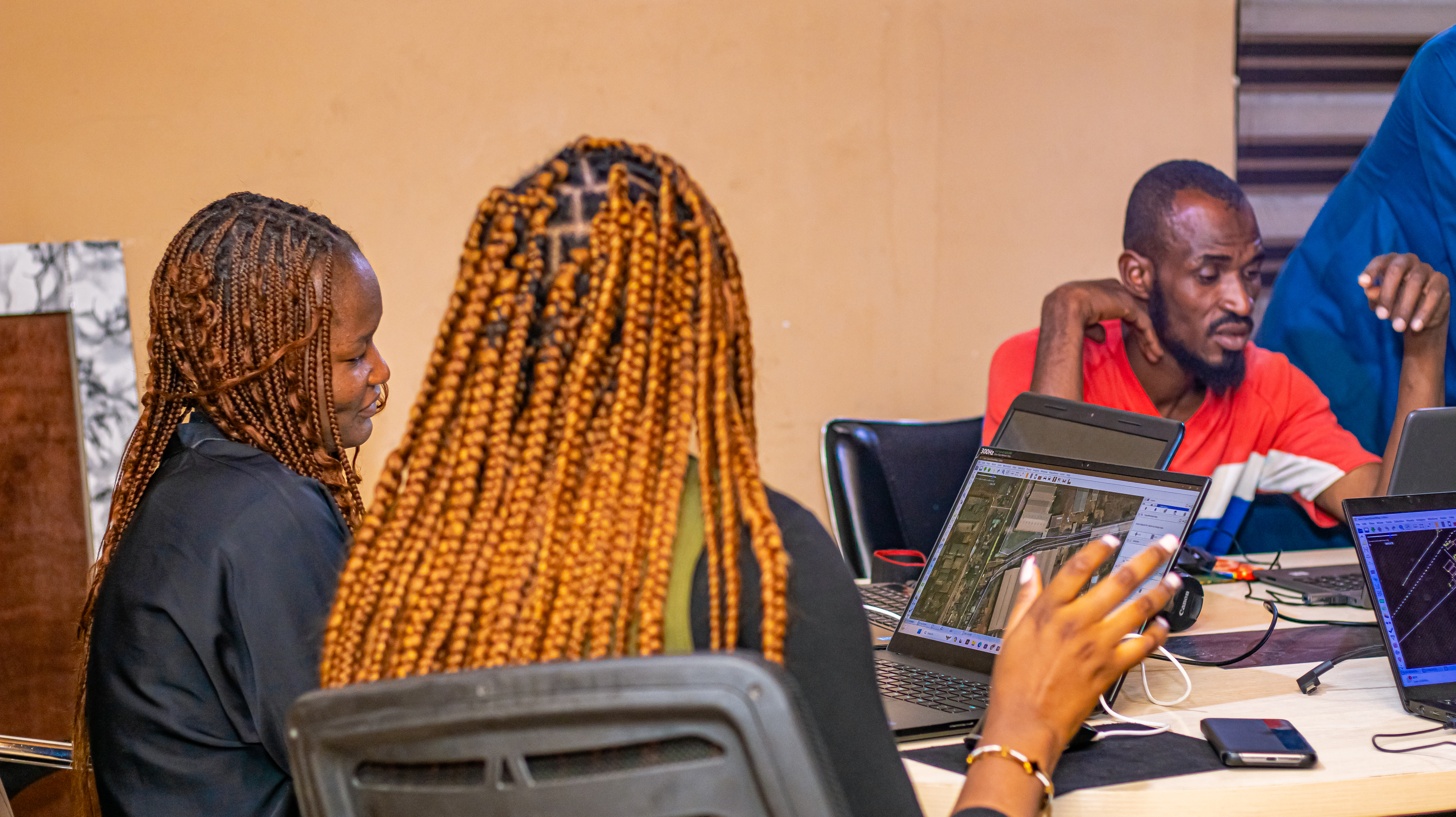
The OSMCI community sees this project as an opportunity to produce quality data for these two cities and introduce OSM technology to a new type of partner and user in Côte d'Ivoire. Integrating data on air quality is also an innovation, as very few projects are interested in this, even though it is a topical issue. For the OSMCI community, this will be a first, and we intend to offer the authorities of the two selected cities a complete and operational decision-making tool to respond to urbanization problems. We have started the project by training our mappers in using the mapping tools identified for this project. The innovative approach of using AI (Artificial Intelligence) for this project will also be a first for us. We are delighted to introduce our young cartographers to use these tools in the future. Involving local partners will be the next step. This is essential, and the project's success depends mainly on it.
This project will allow us to innovate by providing data on air quality. This data collection will be focused on transportation activities. Using sensors, we will assess the air quality around transportation hotspots, particularly in urban centers. This will provide decision-makers with reliable data on emissions from urban transport and their impact on air quality.
After the "Eco-Smart cities" project, these cities will have reliable data to base future urban planning. The OSMCI teams will present the project in various towns in the coming weeks, and local organizations will be the primary beneficiaries. The local authorities, the city’s planning departments, and the regional departments of the Ivorian Anti-Pollution Agency (CIAPOL) will be able to express their needs so that they can be taken into account in the implementation of the project. At the end of the project, the data will be accessible via OpenStreetMap and a dashboard, which will be made available to all stakeholders.
HePD
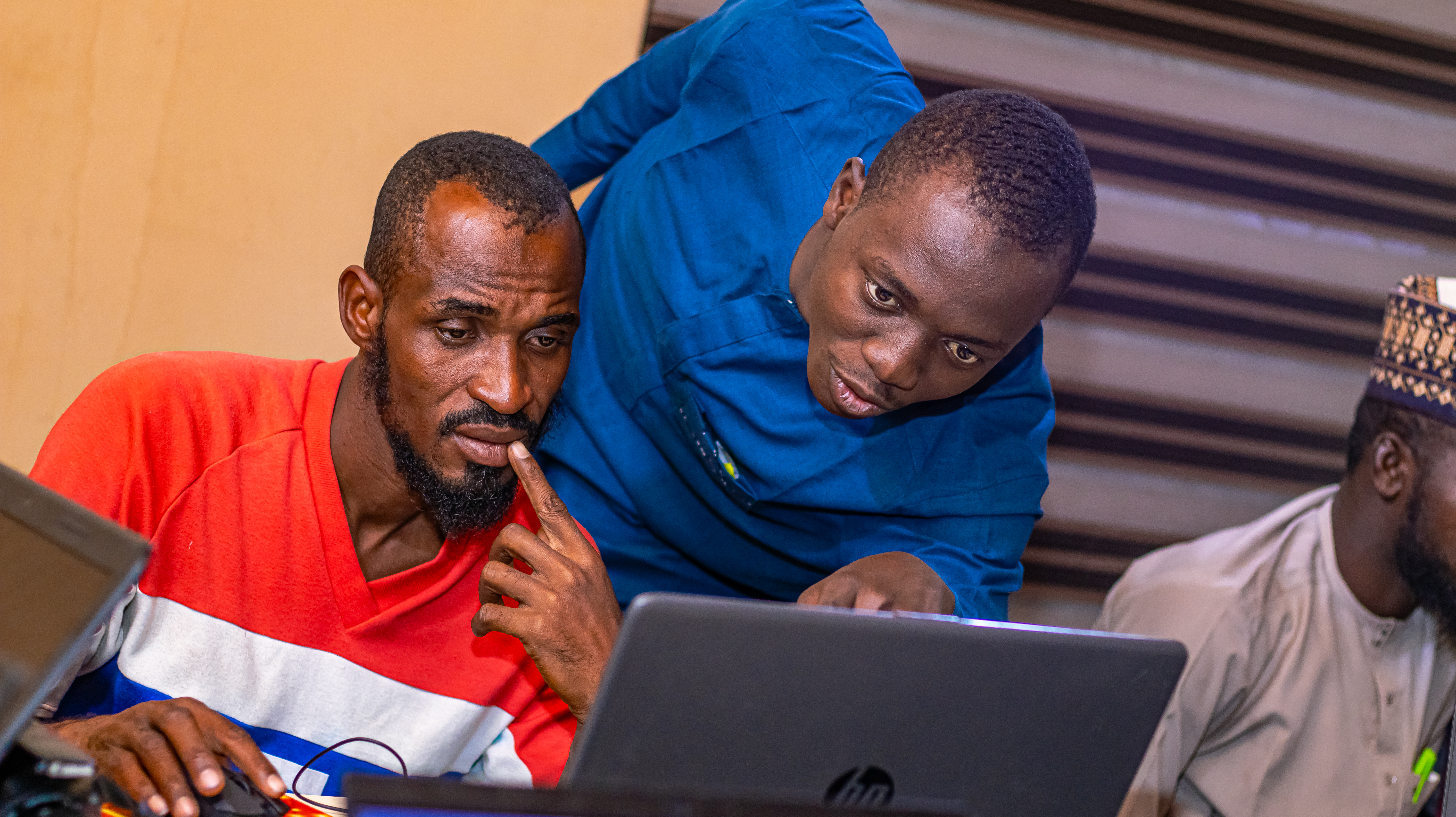
This project has given HePD the platform to reach out to communities, thereby supporting the capability of OpenStreetMap. It has also strengthened our knowledge capacity, so we can cascade learnings, and build that of our local community volunteers especially those in the northeast part of Nigeria, currently affected by the insurgency.
We are currently in discussion with Kaduna Environmental Protection Agency; Amadu Bello University (Zaria): Department of Geography and Environmental Management / Centre for Disaster Risks Management & Development Studies: Kaduna State Polytechnic, Department of Environmental Studies as part of the initial stakeholder engagement. The stakeholders are passionate about this initiative, and they look forward to the data coalition, analysis, output, and walk-through session
As we dive deep into our mapping, our team believes that this project will benefit all, as it will address key pollution issues, and serve as a means of capacity development and open data source.
The story so far ....
" All thanks to OSM team, WNAH, and HOT, youths like us are contributing to providing data and information for the humanitarian response for humanity's sake!" - Abdulazzez Jimoh, ESC Validator, Maiduguri, Northeastern Nigeria.
“It benefited me in several ways. First, it allows me to develop and enhance my mapping skills, which can be valuable. Secondly, being involved in a meaningful project like this provides a sense of fulfillment and purpose, knowing that my efforts are making a positive impact on vulnerable communities. Lastly, humanitarian mapping often involves collaboration with diverse individuals and organizations, allowing me to network, learn from others, and expand my professional connections. It's a win-win situation where you can contribute to a greater cause while gaining personal and professional growth” - Jennifer Apagu, ESC Mapper.