Climate Resilience & Sustainability
Open mapping supports strategies to mitigate potential climate impacts, enhance community preparedness, and ensure that communities grow in environmentally sustainable ways. Through mapping climate hazards and realities in the communities, local players can contribute towards finding sustainable solutions by filling in data gaps and contributing to long-term community resilience and development.
Real-world Applications
1
Using open map data, the Geomatics Engineering Society mapped Nepal’s marginalized Chepang community to assess their needs, enhancing access to amenities and disaster analysis, supported by HOT and various organizations.
2
Through the OpenCities project, San José Poaquil residents in Guatemala created geospatial data for forest conservation, enhancing community planning, disaster resilience, and sustainable management.
3
The “RUWA Niger” project mapped water resources in Fakara and N’Gonga communes, Niger, enhancing water access planning with precise data for sustainable development and humanitarian response efforts.
4
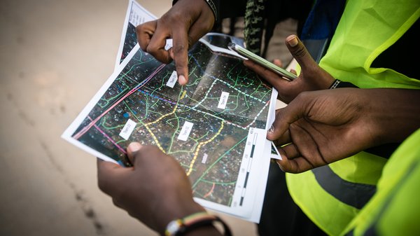
Community Mapping of Urban Risks in Mwanza, Tanzania, aimed to provide precise spatial data on urban risks in Ilemela and Nyamagana municipalities, enhancing resilience through local engagement and low-cost technology.


