Climate Ready Cities
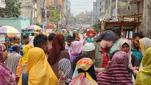
Climate crises are inherently geographic. Yet many of the places where people are most vulnerable to climate change lack representation on maps, meaning communities and decision-makers do not have reliable data to address the converging crises they face.
About the Program
Anticipatory action serves as a crucial link between long-term disaster risk reduction and immediate humanitarian response, particularly amidst the compounded threats of climate change and disasters. According to the Food and Agriculture Organization (FAO), every dollar invested in anticipatory action could give families seven dollars in benefits and avoid losses. However, anticipatory action efforts in vulnerable areas are hindered by a lack of data.
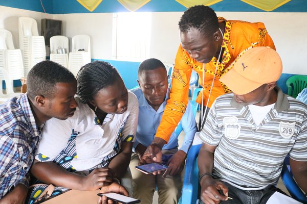
HOT’s Mapping for Climate-Ready Cities program makes open map data available in high-risk cities before a disaster strikes so that it can be used to plan for and mitigate the impacts of extreme weather and climate events. The proactive approach of this program will enable enhanced coordination and community involvement, facilitating early determination of response strategies and providers with ample time for training and capacity building. By leveraging map data to take preemptive measures, this program will mitigate potential crises, thereby saving resources and time and averting displacement, disease, and livelihood losses.

Stats
10M
people to be mapped
1,000
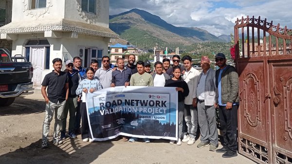
local mappers to be trained
20
local orgs to engage
Goals
Map
Map 8-10 major cities across 4 regions by 2025 with a focus on the most vulnerable populations in those locations.
Data Use
Increase the analytical capacity of stakeholders to collect, analyze & use map data to advocate for climate-resilient policy and planning decisions.
Integration
Collaborate with local representatives to embed open climate data into existing workflows to create data-informed policies & climate-action plans.