Public Health
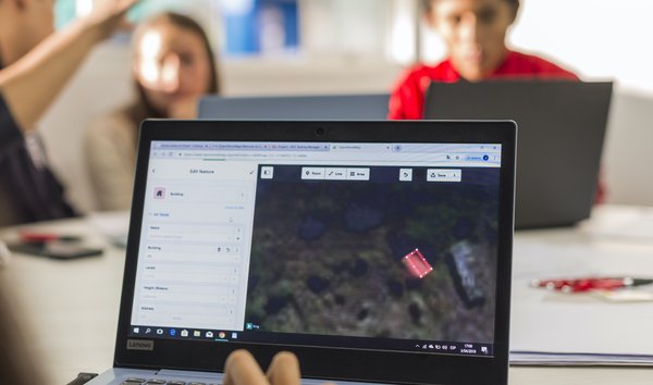
When communities actively participate in mapping their own areas, they create detailed maps that help identify gaps and plan targeted and effective health interventions, ultimately improving the health and well-being of communities globally. Thus, open geospatial data is invaluable for developing policies that address health disparities, enhance equitable health access, and evaluate the effectiveness of public health programs.
Real-world Applications
1
The Amara Hub, a local Ugandan NGO, collaborated with HOT and Uganda’s Ministry of Health to map contraceptive access sites in Lira, Gulu, and Arua using mobile open mapping tools
2
In partnership with Marie Stopes Senegal, the Sunnu Wer Gi Yaram project mapped maternity healthcare services in Senegal’s Matam region, enhancing healthcare access through data-driven decision-making and collaboration with local health authorities.
3
To prepare for and prevent Polio outbreaks in Indonesia, Palang Merah Indonesia (PMI) led the Polio Preparedness Program, which targeted 200+ households for polio immunization, enhanced healthcare access, and supported communities through data-driven initiatives.
4
HOT conducted on-the-ground mapping in Escuintla, Guatemala, with the goal of monitoring the progress and completion of vector control campaigns and better planning for vector control operations on the ground.


