fAIr
fAIr is an open AI-assisted mapping service developed by HOT that aims to improve the efficiency and accuracy of mapping efforts for humanitarian purposes.
The service uses AI models, specifically computer vision techniques, to detect objects such as buildings, roads, waterways, and trees from satellite and UAV imagery. The name fAIr is derived from the following terms:
f: for freedom and free and open-source software
AI: for Artificial Intelligence
r: for resilience and our responsibility for our communities and the role we play within humanitarian mapping
fAIr: for whom?
fAIr is a new AI mapping service tailored for humanitarian OSM mappers. It aims to boost mapping efficiency by offering AI assistance on mobile and web platforms. Users can create and employ their own AI models, enhancing mapping efforts in their regions or for humanitarian causes.
What is fAIr exactly?
fAIr is a unique, open-source AI mapping tool. It empowers local communities to create and train AI models, fostering fairness and relevance in mapping. With constant community feedback, we combat biases and enhance living conditions in mapped areas.
How does it work?
fAIr uses AI models by humanitarian OSM mappers to detect map features from open-source satellite and UAV imagery. It suggests additions to OSM without mass import, providing accurate feedback loops to enhance model intelligence through corrections by OSM mappers.
Why fAIr?

f(AI)r puts control of the AI models and training directly at the hands of the mappers that use them for better and faster data creation.
HOT sees that mappers can, on average, map between 1000-1500 buildings per working day without AI assistance. During an AI-assisted mapping pilot (2019-2020) supported by Microsoft, 18 million building footprints were extracted from satellite imagery for all of Tanzania and Uganda. HOT discovered during this pilot that this average mapping nearly doubled to 2500-3000 buildings being added to OSM per day with the assistance of high-quality AI open-source datasets. fAIr seek to solve three foreseen problems:
1. AI models openness: AI-assisted mapping for humanitarian purposed feels like a black box. Useful open-source results coming from AI exists (e.g. META’s global roads dataset available in RapiD). However, the models (code) are currently not open-sourced.
2. Model bias: Having model biases means predicting over satellite imagery would be biased toward the training dataset used to teach the AI model and the nature and quality of imagery is very different across the globe. Here are three different images from Asia and Africa show totally different nature of imagery:

Source: OpenAerialMap
3. Lack of feedback: There is no enhancement applied easily on the intelligence and accuracy of the AI models and humans are out of the loop when building the AI models, this due to AI models being either closed source or were built once and made available to end users so enhancements would require repeating the process from scratch.
Links
Recent News
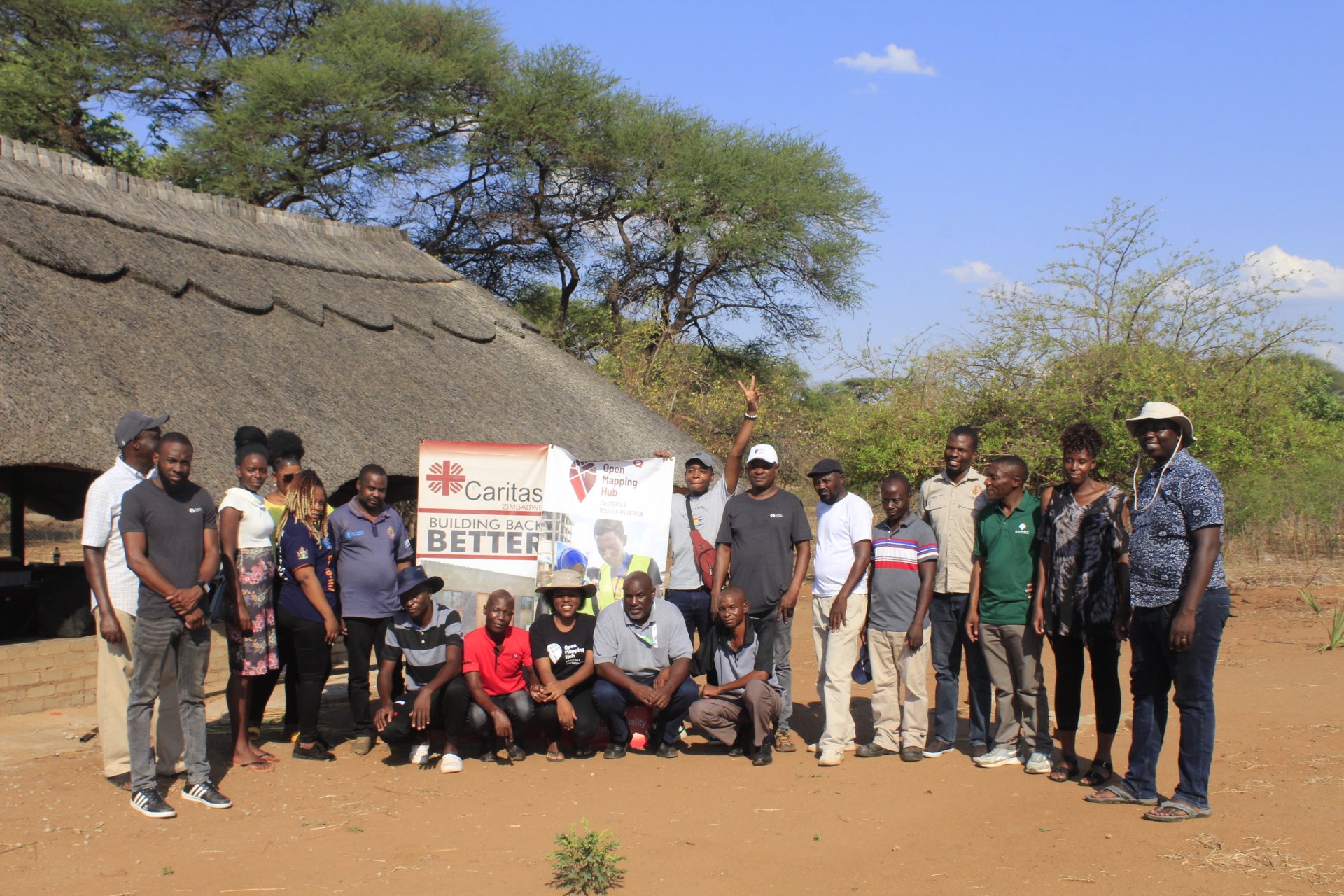
Strengthening Disaster Preparedness In Muzarabani Region, Zimbabwe Through Open Mapping
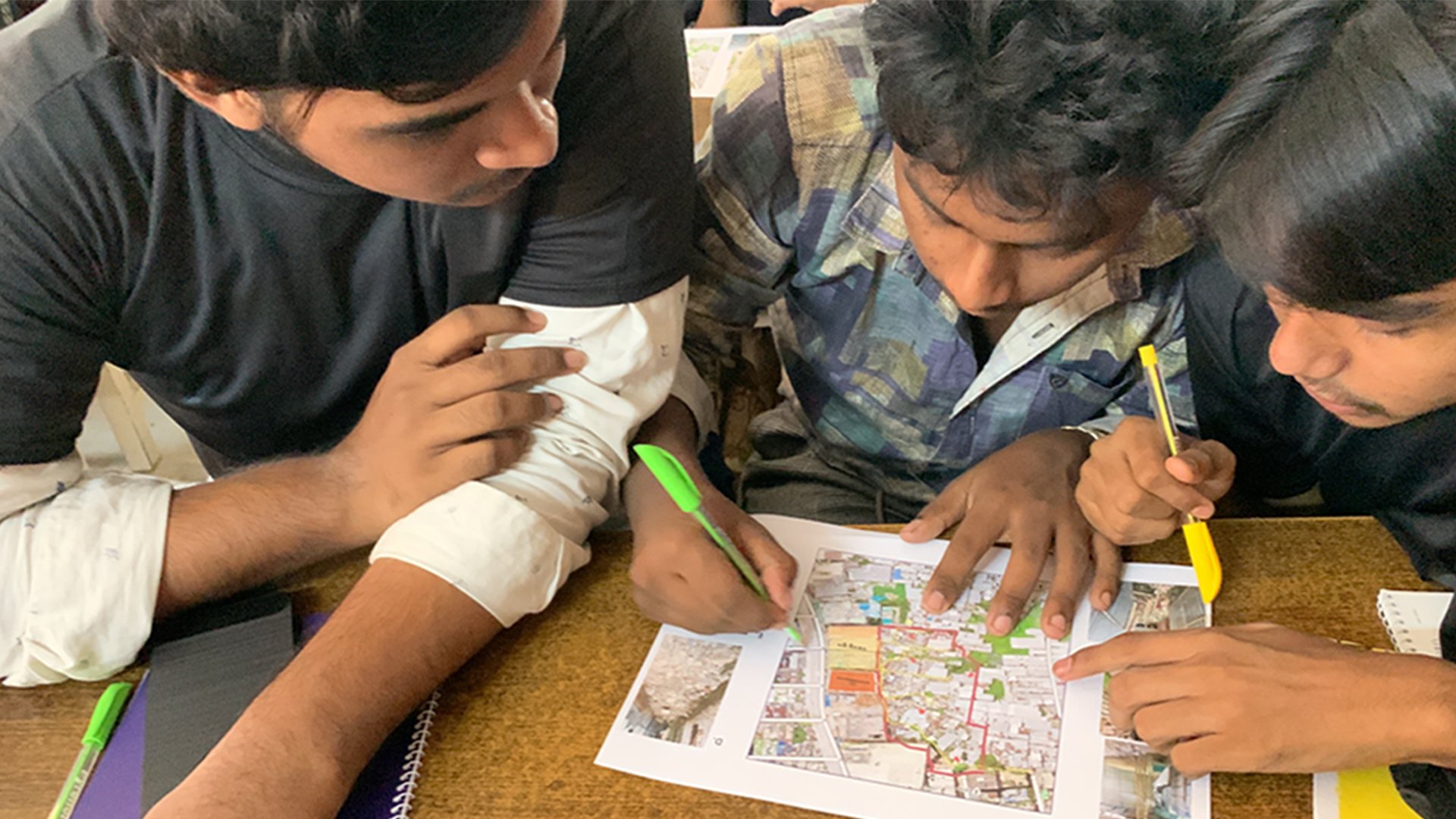
Dhaka Youths in Action: Shaping Urban Future Through Open Data
