Tech Product Suite
We develop open source products to address ecosystem gaps in the use of geospatial technology in development and humanitarian projects, aiming for a world where everyone has access to the right technology to use open map data for social change. Our guiding principles, informed by HOT’s values and aligned with the Principles for Digital Development, act as a compass for HOT’s technology work.
Tech Principles
Put People First
We prioritize understanding human problems deeply before devising solutions, working closely with local mapping communities to grasp their unique challenges, including technical, cultural, legal, and political aspects.
Collaborate for Impact
HOT collaborates globally to advance open geospatial tech for social good, engaging contributors through open groups, mentorship, and documentation to improve existing technologies.
Work in the Open
All of our products are publicly accessible and open source. We share our work through open collaboration channels, webinars, conferences, and open training sessions.
Build for Inclusivity
Our aim is to enable everyone to interact with our technology. We aim to lower the technical barrier so that everyone can participate.
Product Suite

Tasking Manager
The HOT Tasking Manager (TM) is a mapping tool designed and built for HOT’s collaborative mapping process in OpenStreetMap(OSM). Contribute to OSM collaboratively with the global open mapping community using the Tasking Manager.

fAIr
fAIr is an open AI-assisted mapping service developed by HOT that aims to improve the efficiency and accuracy of mapping efforts for humanitarian purposes.

HOT Export Tool
The HOT Export Tool is an open service that creates customized extracts of up-to-date OSM data in various file formats, such as ESRI shapefiles (.shapefile), Google KML (.kml), GeoPackage (.gpkg) dan MBTiles (.mbtiles).

OpenAerialMap (OAM)
OpenAerialMap is an open service to provide access to a commons of openly licensed imagery and map layer services. Download or contribute imagery to the growing commons of openly licensed imagery.

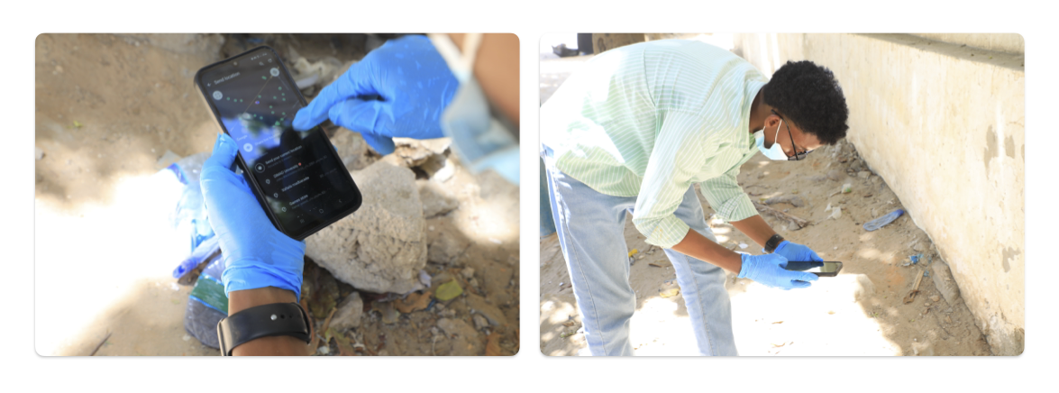
Field-TM
Field-TM helps teams add local knowledge to map features by coordinating mapping in the field.

Drone Tasking Manager (DroneTM)
Drone Tasking Manager is an open source drone tasking platform that allows anyone with access to a drone — including low-cost consumer or DIY models- to contribute aerial imagery to a global, free, and open repository.
ChatMap
ChatMap is a super-accesible tool for mapping with chat apps like WhatsApp, Telegram or Signal
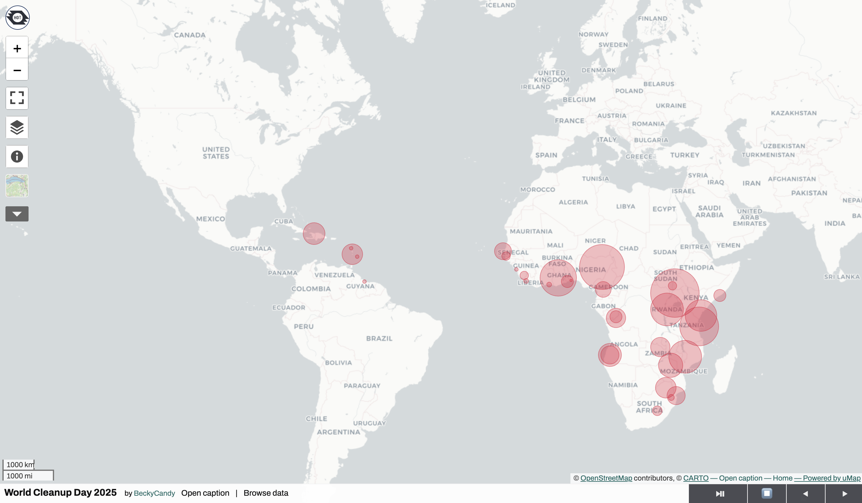
uMap
uMap is a free and open source online map application that allows users to create their own maps using customized data, symbology, and layers
