Data and Local Knowledge: the Aburrá Valley Metropolitan Area's Commitment to Community Cartography through the SIATA Project
Posted by Mar Marín Villagrana, Juan Arellano Valdivia • April 14, 2026
The The Early Warning System of the Aburrá Valley - SIATA operates more than 1,400 sensors, processes nearly 18 million data points per month, and generates hydrometeorological alerts that protect millions of people across the entire Aburrá Valley. But there is a gap that sensors cannot close on their own: how many homes are truly at risk behind each alert? Where should priorities be set when decisions must be made quickly? Answering those questions requires a different kind of data, the kind that lives in the territory, in memory, and in the daily routines of those who inhabit it.
Esteban Rivera, speaking about SIATA's strategic project: communities use and drive the mapping process, allowing educational strategies to be strengthened.
If you're not on the map, how can an alert protect you?
The Social Appropriation of Knowledge component, through its educational line, found a way to make it possible. Esteban Rivera, Education professional within the component, describes it this way:
We used Google Maps to find directions from Medellín to a rural school, and there was no information about the territory. That made us question ourselves and rethink what kinds of tools, digital tools, social cartography, could actually work for this.
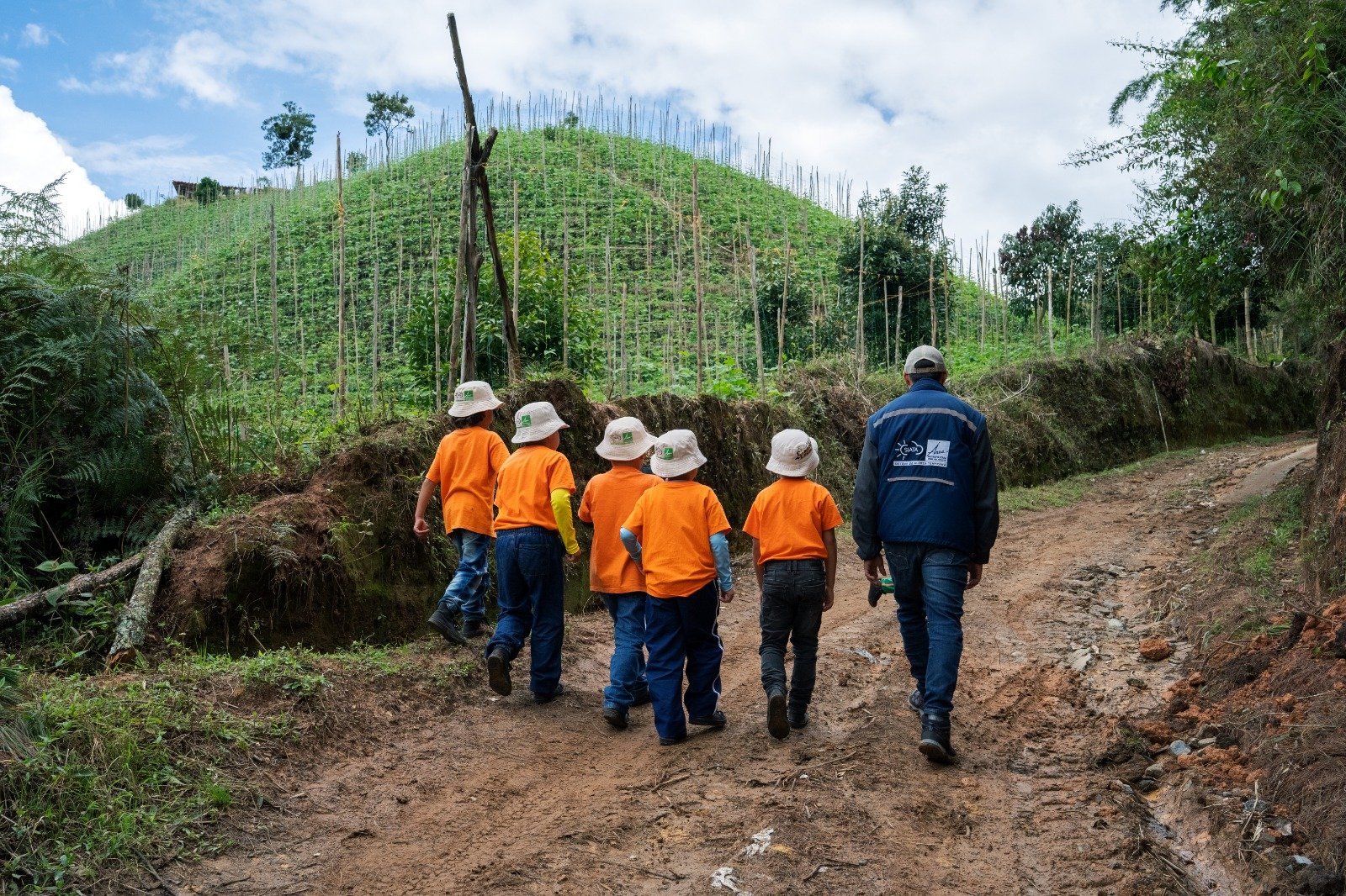
The school in question is located in Pantanillo, a rural village on the border between Barbosa and San Vicente Ferrer, less than an hour and a half from Medellín. A territory that belongs to the metropolitan area of the Aburrá Valley and was invisible to conventional digital platforms. That invisibility has direct consequences: if we don't know where communities are, we also don't know how to protect them.

From analog maps to open platforms
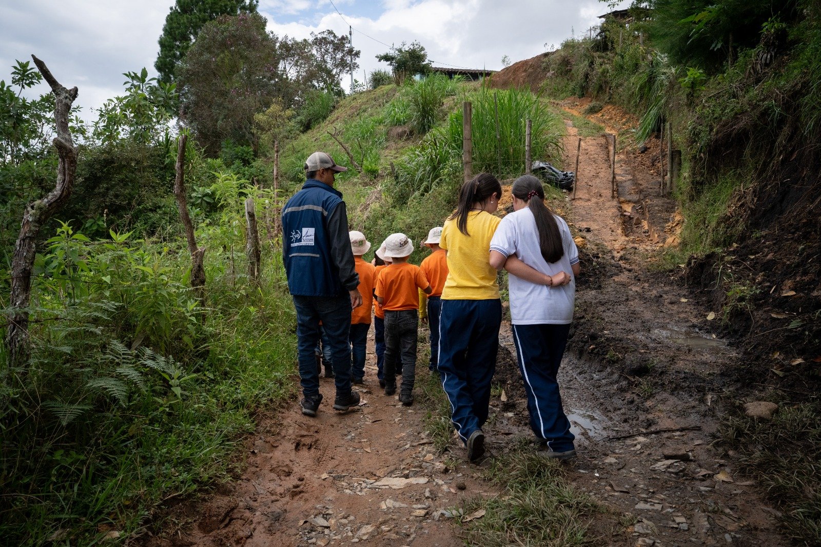
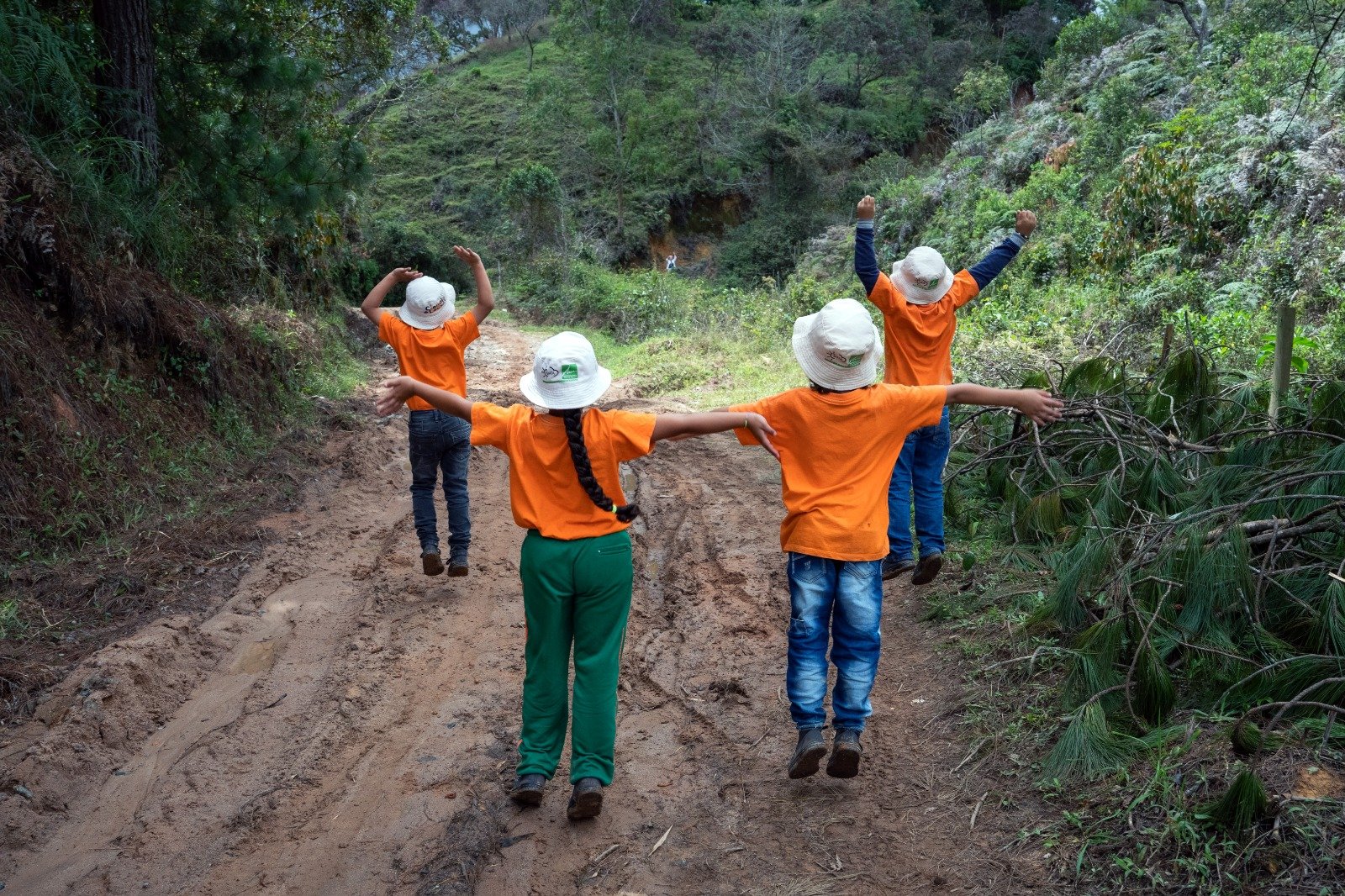
SIATA's process does not begin with a screen. It begins with scale models of the Valley and its local watersheds. Students ask their parents about the territory they inhabit, drawing maps by hand. Rivera describes it this way:
We went step by step, naming the route from home to school. We had them place reference points: where they feel safe, where they recognize hazards, whether there have been floods, wildfires, or landslides.
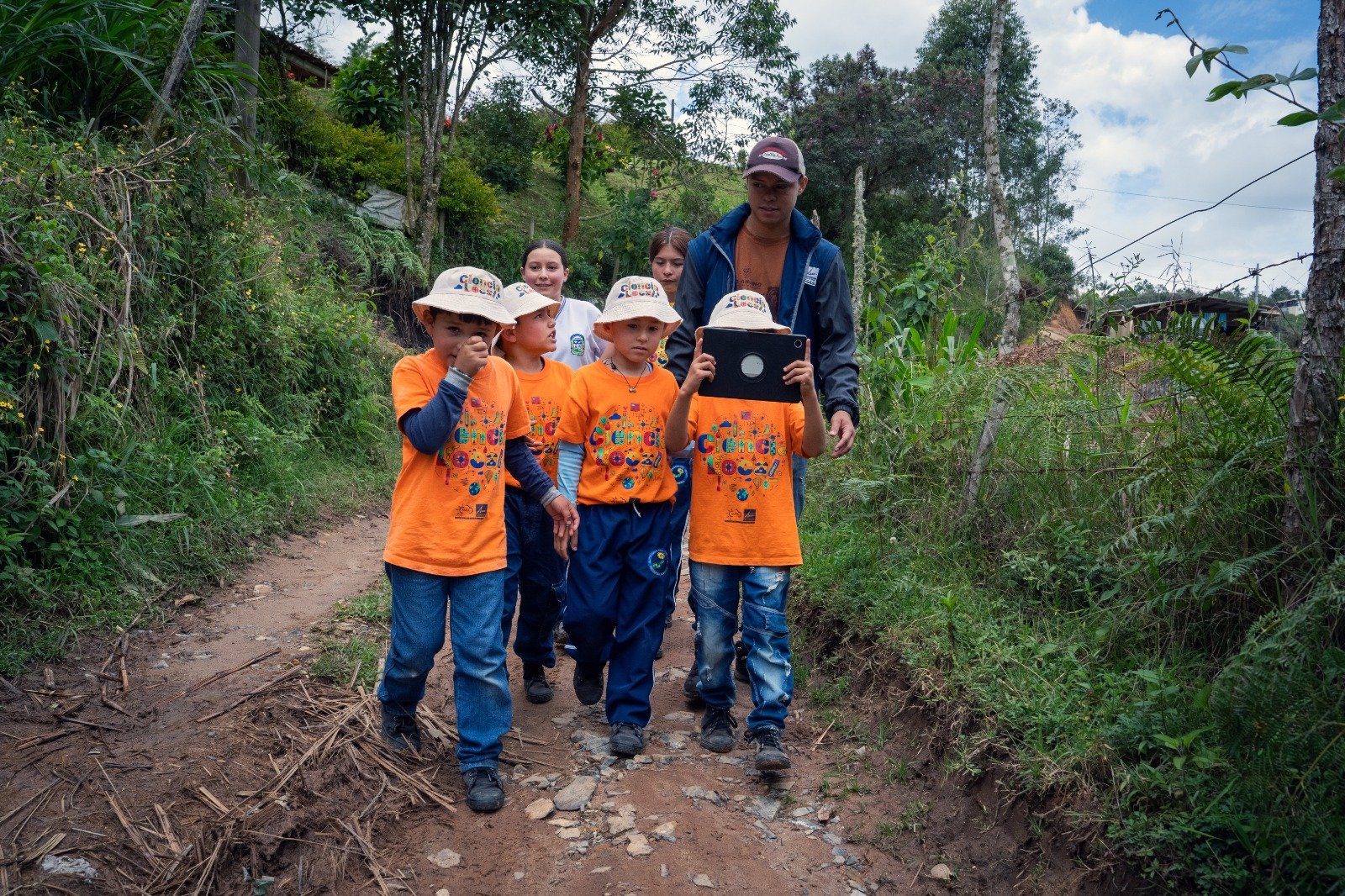
Only once that knowledge is activated does the process migrate to digital tools. The leap is not technological, it is one of recognition.
Today SIATA works with three open mapping platforms: the Tasking Manager to guide volunteers in Colombian OpenStreetMap (OSM) projects; Mapillary to visually document rural territories that do not exist on conventional maps; and ChatMap in complex urban settings such as the La Honda neighborhood, on the eastern periphery of Medellín. More than 100 people have been trained in these tools, and digital cartography now has its own formal module within SIATA's territorial strategy.
What the territory teaches the system
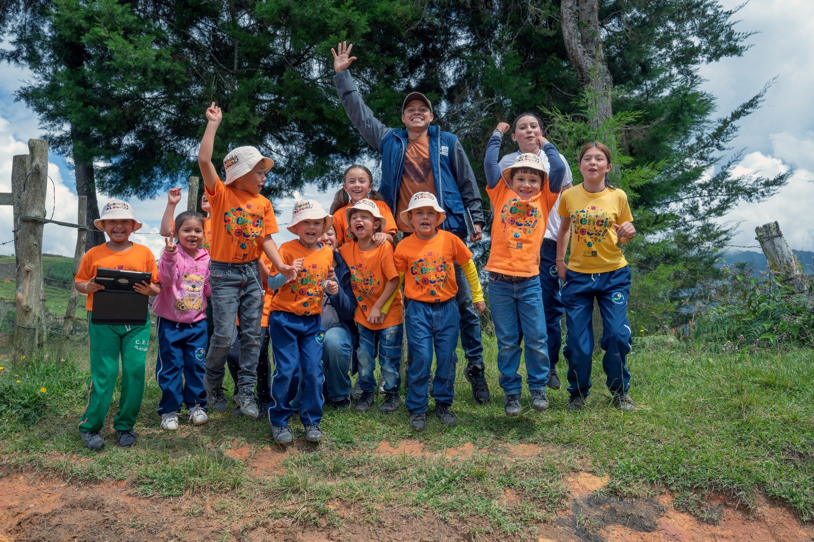
Three years of work with urban and rural communities across the entire metropolitan area, in places with no internet connectivity or road access, have left the SIATA team with a deeper understanding of what it means to map for protection. The lessons are technical, but they are also human. They have learned that not every territory allows for the same tools. They have learned that connectivity is a matter of equity before it is a matter of technology. They have learned that when a student locates their home on a map for the first time and names the stream that runs through their neighborhood, something shifts in their relationship with risk. It is no longer something that happens to them, it is something they can read, and eventually anticipate.
Digital cartography is now a formal part of SIATA's strategies, with its own module within the territorial training program, including systematized presentations, methodologies, and results. But the team knows there is still a baseline that remains to be built:
We need more training. We have professionals who are ready to take courses, whether intensive or in other formats, so that we can develop greater capacity in the use of digital tools and the relevance we can give them in educational and community settings.
Disaster risk management in complex urban and peri-urban contexts depends, among other things, on the quality of available information. SIATA has understood this since its founding and has built a technical infrastructure that few cities in the region or the country can match. But technical information has its limits where the territory has not been named, mapped, or recognized.
What SIATA is building is a large-scale undertaking. It is a commitment to democratizing the production of territorial data, to recognizing communities as actors capable of making decisions for their own protection, and to building alert systems that reach where sensors alone cannot.
The Aburrá Valley has approximately 1,400 sensors. And it also has communities that know their territory with a precision no sensor can replicate. The task is to connect them.
What is most remarkable about this experience is precisely what it did not require: deep involvement from HOT. A couple of encounters and the participation of Esteban and other team members in some of our webinars were enough for SIATA to take those tools as a starting point, make them their own, and apply them directly in the field.
The results speak for themselves, and today the SIATA team is ready to bring these methodologies to more communities. Sometimes, the most valuable thing an open knowledge network can offer is exactly that: to spark the flame and let others carry it further.
Share
